Scroll down to brose field workshop locations, prices and descriptions.
*All programming subject to change. Please refresh the page for the most up-to-date information. Check in frequently for updates.
| Navigation | |
Morton Outcrops Scientific and Natural Area (SNA) is a massive high bedrock knob, composed of Morton quartz monzonite gneiss, which at 3.6 million year old is one of the oldest exposed rocks on Earth. Glaciers removed the overlying cretaceous sediments and about 10,000 years ago Glacial River Warren eroded the glacial till to expose the ancient bedrock. There are just a few similar exposures of Morton gneiss in Minnesota, all in the Morton area. Morton Outcrops was designated as an SNA in 2011 to protect its geological formation and the species and plant communities associated with it.
The outcrop supports a plant community known in Minnesota as Crystalline Bedrock Outcrop (Prairie) Minnesota River Subtype, which is an S2 (imperiled in Minnesota) and G3 (Globally vulnerable to extirpation) plant community. The site supports plants typical of rock outcrops as well as a diverse prairie flora. Rock outcrop plants adapted to thin soil or ephemeral pools include: Rock spikemoss Selaginella rupestris, Small-flowered fame flower Phemeranthus parviflorus, Little barley Hordeum pusillum, Carolina geranium Geranium carolinianum, Brittle cactus Opuntia fragilis, Carolina foxtail Alopecurus carolinianus, Flattened spikerush Eleocharis ovata, Spring forget-me-not Myosotis verna, and Chaff weed Lysimachia minima (a very rare species in MN). A Bioblitz in 2020 documented 170 species on the SNA. The SNA also has an unusual wetland in a former quarry pit.
Many rare species are found on and around Morton Outcrops SNA including: prairie bush clover Lespedeza leptostachya (federally threatened), Wolf‘s spike rush Eleocharis wolfii (MN endangered), yellow giant hyssop Agastache nepetoides (tracked), a crustose lichen Buellia nigra (MN special concern), Iowa skipper Atrytone arogos iowa (MN special concern), and regal fritillary Speyeria idalia (MN special concern).
The major management concern on Morton Outcrops is the encroachment of woody plants, particularly common buckthorn and non-native honeysuckles. These species are a serious concern throughout the Minnesota River Valley and much of southwestern Minnesota. The rock outcrop prairie is also a fire-dependent community and it has been burned three times by the SNA Program, in 2009, 2014, and 2015.
Chippewa Prairie lies along a reservoir of the Upper Minnesota River named Lac qui Parle ("lake that speaks") by early French explorers. Chippewa Prairie represents a small remnant of the once vast northern tallgrass prairie ecosystem. Huge numbers of migratory waterfowl use Chippewa Prairie; it is a vital natural area link to Big Stone National Wildlife Refuge and Lac qui Parle (state) Wildlife Management Area.
Chippewa Prairie is a rich example of the dwindling northern tallgrass prairie ecosystem, making its protection an important part of the Conservancy's efforts in Minnesota. The preserve provides a major migratory stopover for waterfowl along the Minnesota River, and it attracts a large array of native wildlife.
*Information by nature.org
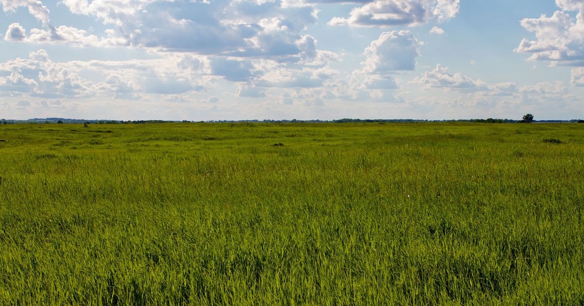 photo by nature.org
The Chippewa Prairie is a northern tallgrass prairie located on glacial outwash in southwestern Minnesota. The glacier left many boulders on the soil, making it too rocky to farm. The land was used for hay and grazing. The Chippewa Prairie is managed with patch burn grazing for improved rangeland health, wildlife habitat, and species diversity. Plant communities, invertebrates, birds, and herptofauna are monitored. The site is jointly managed by The Nature Conservancy and the Minnesota Department of Natural Resources.
*Information by gpfirescience.org
Hunters, trappers and wildlife watchers in Big Stone, Chippewa, Lac qui Parle and Swift county benefit from the management, habitat and oversight work of the Minnesota Department of Natural Resources' Lac qui Parle Wildlife Management Area staff.
Wildlife Area Supervisor Walt Gessler along with two full-time staff and five part-time seasonal staff oversee a work area totaling 33,000 acres. This acreage includes a state game refuge, a wildlife sanctuary, a waterfowl feeding and resting area, a duck sanctuary and a controlled hunting zone.
This area includes the 24,300-acre Lac qui Parle WMA – the largest contiguous block of public land in west-central Minnesota and an incredibly popular destination for hunters, bird and wildlife watchers and others.
*Information provided by dnr.state.mn.us
Lac qui Parle is a French translation of the name given to the lake by the Dakota Indians who called it the "lake that speaks." If you visit in the spring or fall you'll understand why. The lake is a stop over for thousands of migratory Canada geese and other waterfowl. You'll hear a chorus of honking, quacking, and other vocalizations. Paddle the lake, or cast a line and catch walleye, northerns, perch, or crappie. Explore one of the trails by foot or horseback. Visit the historic Fort Renville and Lac qui Parle mission sites. While in the area, be sure to visit the 27,000 acre Lac qui Parle Wildlife Management Area.
*Information by stateparks.com
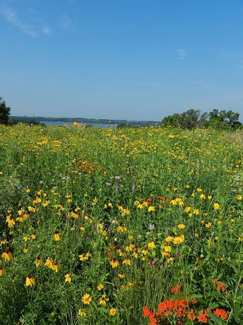 photo by MN DNR
The preserve is named for its esker, one of the few protected in Minnesota and accessible to the public—a 70-foot high serpentine ridge of sand and gravel deposited by a stream that flowed below the ice of a retreating glacier and now provides a commanding view of the surrounding Ordway-Glacial Lakes landscape. The landscape includes dry sand-gravel prairie, marsh, and basswood-burr oak forest.
Lake Johanna Esker is just two miles east of the Conservancy’s Ordway Prairie and one mile northwest of Moe Woods and is an important stepping stone for wildlife linking these two preserves. The property also connects grasslands and wetlands in the Little Jo Wildlife Management Area with Conservancy land to the east.
The Nature Conservancy acquired the land under its Minnesota Prairie Recovery Project, an effort to protect native prairie and savanna and restore thousands of acres of degraded prairie and prairie wetland habitat.
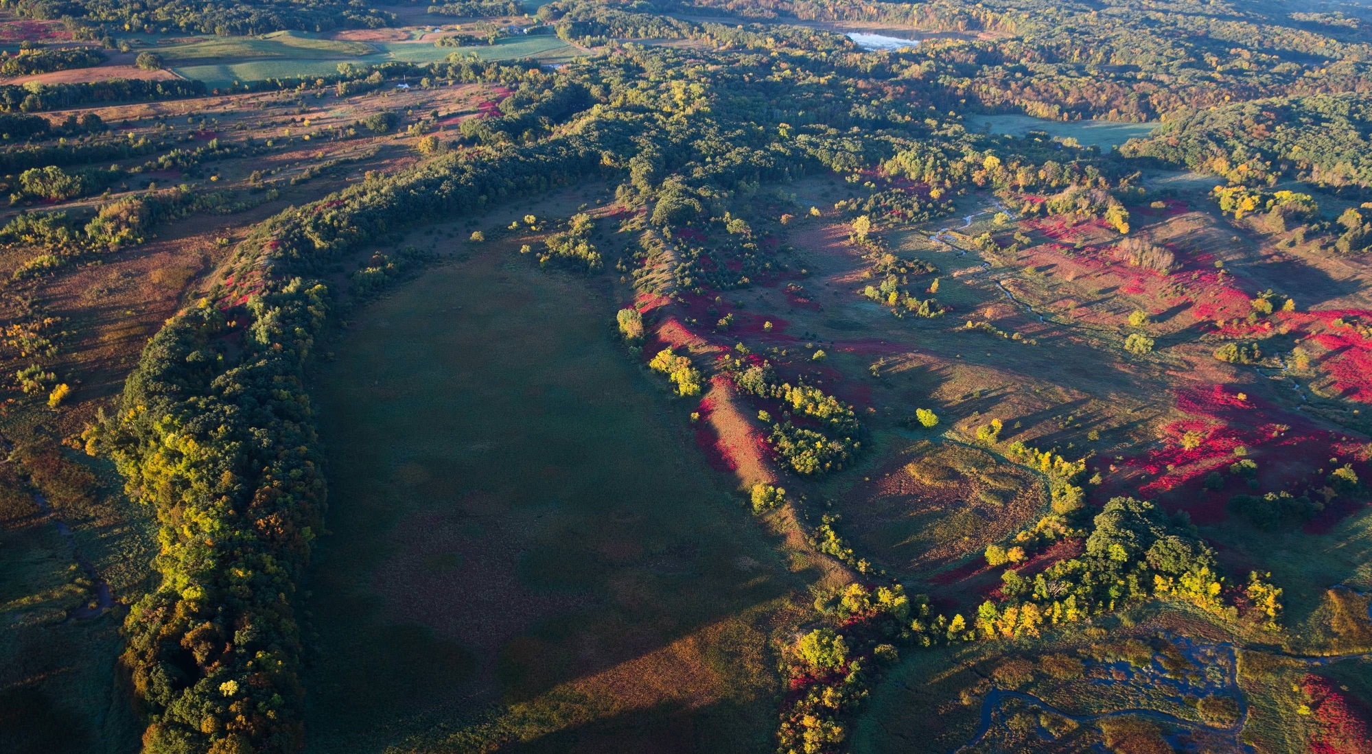 photo by nature.org
The patchwork landscape of Ordway Prairie combines grasslands and woods in a mosaic representation of millions of acres in the Midwest, where competition between forest and prairie was intense. On top of Ordway's sharply rolling, glacially-deposited hills lies dry hill prairie. Visitors can enjoy a grand view of this prairie from the top of the hill at the historical marker. In late spring of some years, the tiny flowers of blue-eyed grass wash a light blue color over the steep grassy slopes in the southern and eastern parts of the preserve. As the bloom of blue-eyed grass fades through June, sweeps of prairie submerge the hills with a yellow glow, an especially wonderful sight on sunny days through early July.
The relatively undisturbed quality of Ordway Prairie's grasslands and wetlands attracted the Conservancy more than 30 years ago. Expanding towns and continuing agricultural pressure have made this site's protection a priority.
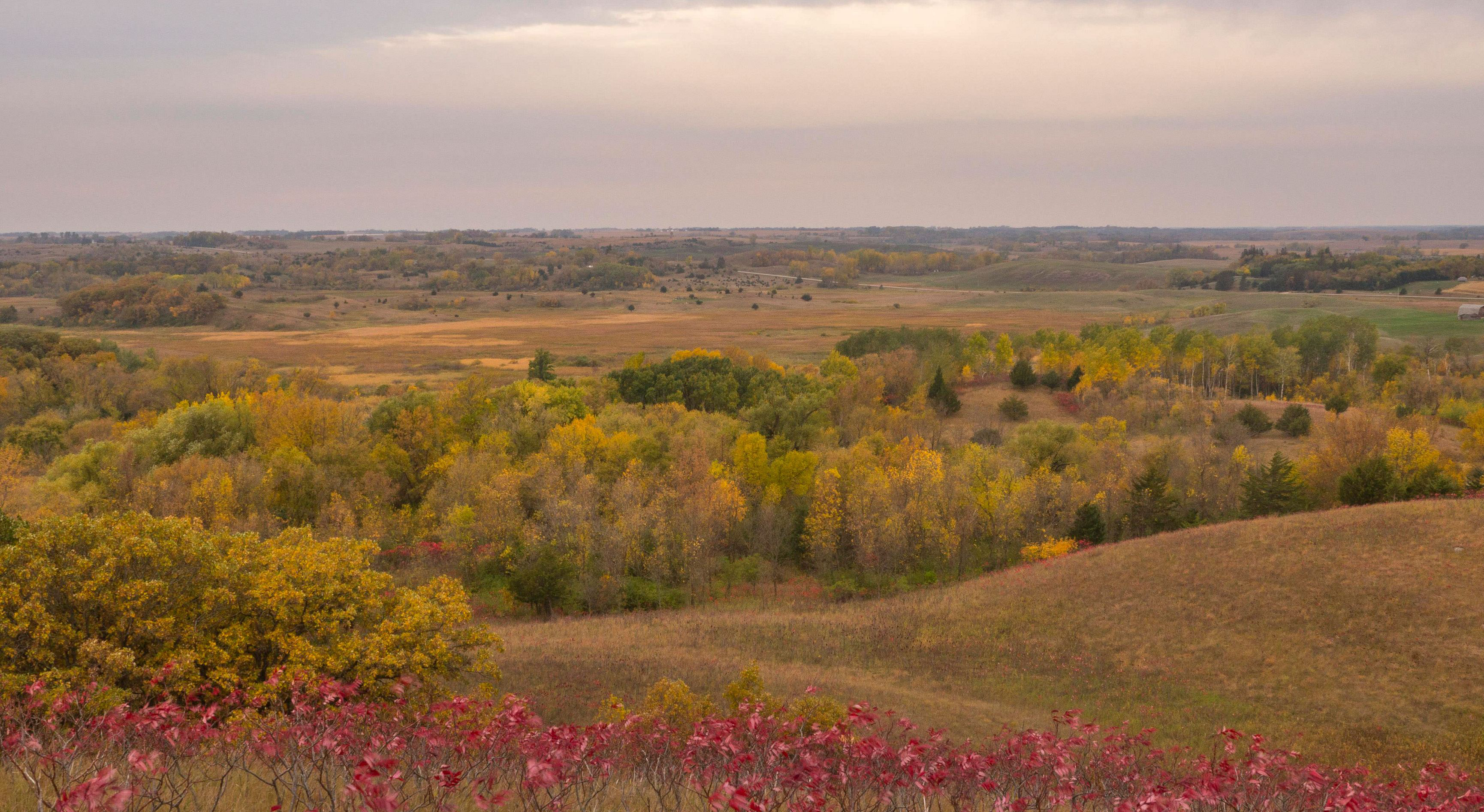 photo by nature.org
Support the people who manage our natural areas and protect biodiversity in perpetuity.
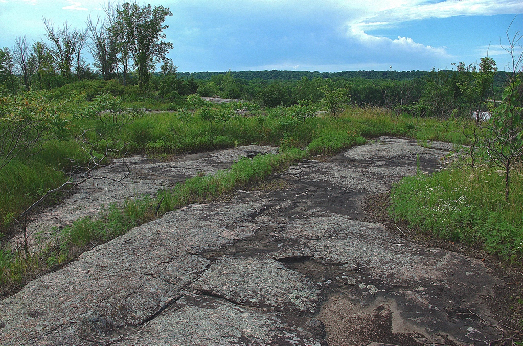 photo by Fred Harris,